Geocentric Projection
 Demonstrates how to use the SoGeoProjection node to display geocentric shapes with a cartographic projection.
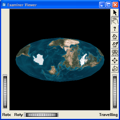
In this example, an instance of SoGeoProjection is used to display a sphere representing the earth with a cartographic projection.
FILES:
- Inventor/Projection/GeocentricProjection/GeocentricProjection.cxx
SEE ALSO
SCREENSHOT: